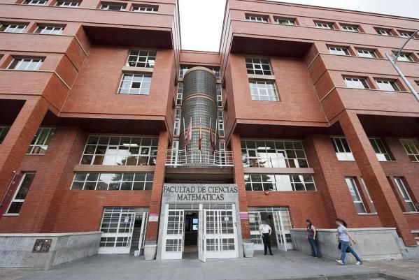
Ciencias Matemáticas
Facultad

Juan F.
Prieto Morín
Publicaciones en las que colabora con Juan F. Prieto Morín (19)
2023
-
Editorial for the Special Issue “GNSS, Space Weather and TEC Special Features”
Remote Sensing
-
Tidal modulation of the seismic activity related to the 2021 La Palma volcanic eruption
Scientific Reports, Vol. 13, Núm. 1
2022
-
Estimation of the Block Adjustment Error in UAV Photogrammetric Flights in Flat Areas
Remote Sensing, Vol. 14, Núm. 12
-
Shallow magmatic intrusion evolution below La Palma before and during the 2021 eruption
Scientific Reports, Vol. 12, Núm. 1
2021
-
Detection of volcanic unrest onset in La Palma, Canary Islands, evolution and implications
Scientific Reports, Vol. 11, Núm. 1
-
Upgraded GROWTH 3.0 software for structural gravity inversion and application to El Hierro (Canary Islands)
Computers and Geosciences, Vol. 150
2020
-
Geodetic study of the 2006-2010 ground deformation in La Palma (Canary Islands): Observational results
Remote Sensing, Vol. 12, Núm. 16
2019
-
Deep volcanic morphology below Lanzarote, Canaries, from gravity inversion: New results for Timanfaya and implications
Journal of Volcanology and Geothermal Research, Vol. 369, pp. 64-79
2018
-
Modeling the two- and three-dimensional displacement field in Lorca, Spain, subsidence and the global implications
Scientific Reports, Vol. 8, Núm. 1
2017
-
Uso de GPS para la modelización 3D del campo de deformaciones en áreas sometidas a extracción de agua: Aplicación a la cuenca del Alto Guadalentín (Murcia, España)
Nuevos modelos de investigación y colaboración en Ingeniería Gráfica: actas del Congreso Internacional INGEGRAF
2015
-
An Overview of Geodetic Volcano Research in the Canary Islands
Pure and Applied Geophysics, Vol. 172, Núm. 11, pp. 3189-3228
-
Structure of Alluvial Valleys from 3-D Gravity Inversion: The Low Andarax Valley (Almería, Spain) Test Case
Pure and Applied Geophysics, Vol. 172, Núm. 11, pp. 3107-3121
2014
-
Detailed multidisciplinary monitoring reveals pre- and co-eruptive signals at Nyamulagira volcano (North Kivu, Democratic Republic of Congo)
Bulletin of Volcanology, Vol. 76, Núm. 1, pp. 1-35
2009
-
Geodetic and structural research in La Palma, Canary Islands, Spain: 1992-2007 Results
Pure and Applied Geophysics, Vol. 166, Núm. 8-9, pp. 1461-1484
-
Gravity-driven deformation of Tenerife measured by InSAR time series analysis
Geophysical Research Letters, Vol. 36, Núm. 4
-
Structural results for La Palma island using 3-D gravity inversion
Journal of Geophysical Research: Solid Earth, Vol. 114, Núm. 5
2008
-
DInSAR, GPS and gravity observation results in La Palma, canary Islands
Proceedings of the 2008 2nd Workshop on USE of Remote Sensing Techniques for Monitoring Volcanoes and Seismogenic Areas, USEReST 2008
-
Surface deformation studies of Tenerife Island, Spain from joint GPS-DInSAR observations
Proceedings of the 2008 2nd Workshop on USE of Remote Sensing Techniques for Monitoring Volcanoes and Seismogenic Areas, USEReST 2008
2004
-
GPS monitoring in the N-W part of the volcanic island of Tenerife, Canaries, Spain: Strategy and results
Pure and Applied Geophysics, Vol. 161, Núm. 7, pp. 1359-1377
